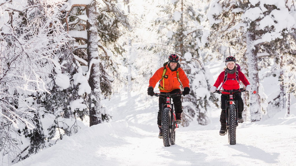
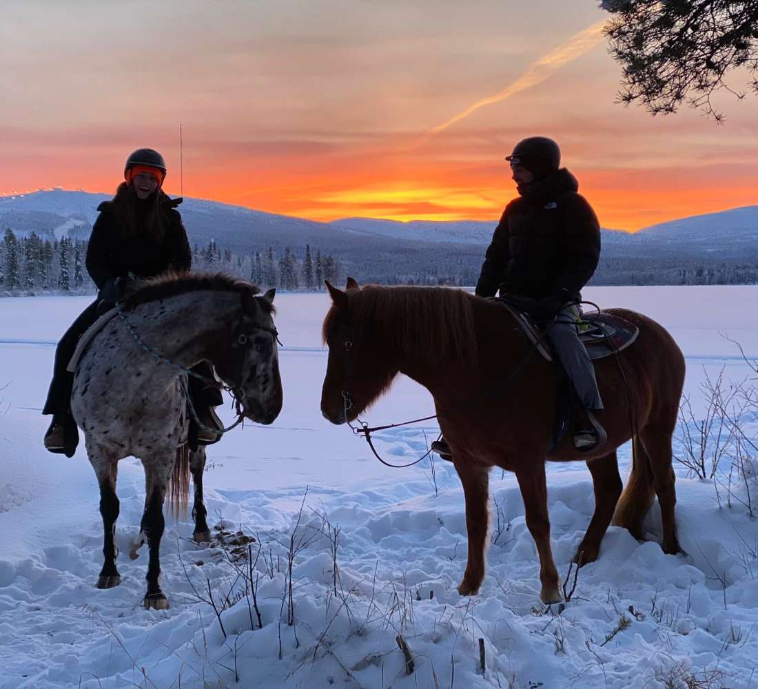
- Open fron week 8. Please note that the trail is common with skiers. The trail goes in the middle of a cross-country ski track, and is allowed only for skiers and winter biking.
- 31-33 km, circle trail
- duration 4-6 h
- Intermediate / difficult (length, winter weather conditions)
- Length depending on route choices approx. 31-33 km.
- Recommended direction: clockwise
- The trail is marked with blue signposts (in the beginning) and the resto of the trail with blue winter biker symbols.
ROUTE DESCRIPTION:
From Visitor Centre Naava, the trail runs first along the light traffic route for 600 meters towards Kemijärvi. At the Kerontie crossroad, drive over Kerontie and continue on the right side of the cross-country ski track, following blue signposts. The winter biking trail diverges from the next junction to the right, just after the national park boundary, passing through old woods deeper into the national park.
Depending on the route choices, the first rest area is either Isokuru kota-hut or Tiaislaavu lean-to-shelter on the edge of the mire. From Tiaslaavu you can continue past the Tunturiaapa bird watching tower through the aapa mire, or choose a shorter and more forested route towards Porolaavu lean-to-shelter. Until now, the route has passed as a so-called multi-use trail, where on the same route you are allowed to snowshoe, walk and cycle.
After Porolaavu lean-to-shelter, the winter biking trail goes in the middle of a cross-country ski track, and is allowed only for skiers and winter biking for the next 17 km. Bikers should therefore mind the skiers that use the same route.
The next rest areas after Porolaavu are the Haarainselkä and Salmiaapa day trip huts, to which the route follows along the border of the national park, mostly in fairly flat terrain. Between Tiaslaavu and Salmiaapa there are forests of different ages and here and there, in the mire sections, you can see beautiful landscapes towards the fell range. After Salmiaapa, the route dives into the forest, slowly climbing towards Huttujärvi lake.
After Huttujärvi lake, there will be a crossroad, from where you can get to Huttujärvi rental hut as a one-way trail. Note that the trail continuing from the rental hut towards Luosto is only for skiers. From the intersection of the Huttujärvi rental hut, the trail continues to ascend and after about 500 m a path diverges to the right towards the Huttuloma open wilderness hut. The path to this hut is not maintained, so it is only formed by visitors. From Huttuloma, the trail continues downhill towards Kiimaselkä, but diverges left from the cross-country ski track just after Huttujärventie parking area (not plowed in winter). The Pyhä wilderness route follows 2 km along the Huttujärventie road, which is not plowed in winter, but it is maintained for winter biking (maintenance less often than the cross-country ski track, which means that in heavy snowfall this section of the trail can become difficult to ride).
Huttujärventie road ends to Pyhä-Luosto road (road number 962), and the Pyhä Wilderness Trail continues to the right, following the road for about 5 km towards Pyhä. At the intersection of Lake Pyhäjärvi, the route switches to the light traffic route, continuing along for about 4 km back to Visitor Centre Naava.
More specific information about the route, like sights, resting places etc. from nationalparks.fi.

